

Phillip’s Trail along the shore to Port au Chois
Category Archives: Uncategorized
Oops, forgot to latch the cabinet

NOTHING was broken.
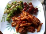
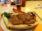
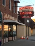
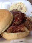
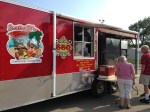
Road Food and the Alien Veggie


St. Martha’s

Sunday, July 7 th
St Martha’s is in Lethbridge, Alberta. Wonderful music ( choir, piano and electric base), beginning with “Here I Am Lord” and ending with “Canticle of the Sun” (St Francis).

Huron’s St. James River

The St James River runs through Huron. It is special geographically, it defines
the boundary of two climate zones. East of the river recieves more rain and the
soil is richer, making it ideal for farming. To the West it is more arid and the soil
is good for the growth of grasses. Thus, ranching is done instead of farming.
The St. James is really where the West begins. ( Source SD highway marker)
The 56th International Rally ( click pictures to expand)

Almost four hundred Airstreams from about 90 units came to the rally.

Getting ready to post the unit colors: the opening flag ceremony.

The vintage club was well represented.

Over 90 Units, from the United States and Canada, posted their flags.

Our spot at the rally.
Welcome!
 Most previous posts have been deleted. However, I left the Alaskan material
for people who haven’t read it. New posts will be from our trip to the 56th
International Airstream Rally in Huron, SD. In July and August we will be
on the Maple Leaf Caravan.
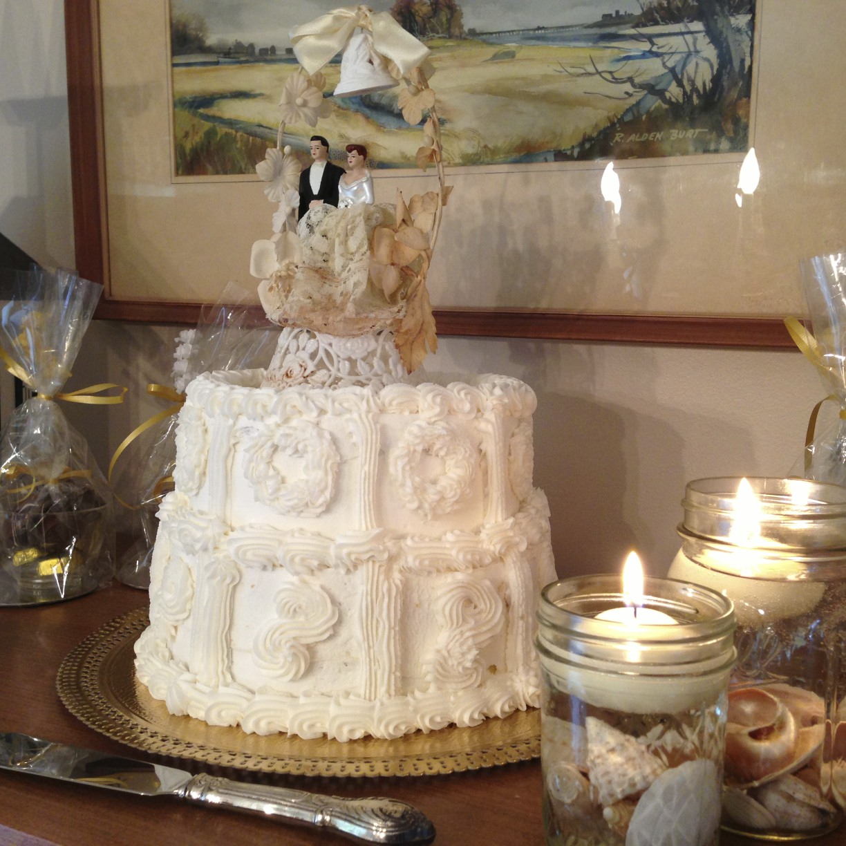
June 15th we celebrated our 50th Wedding Anniversary. Our- son- in law made
a replica of the original cake. We had the original topper!
Miscellaneous……


Saturday, September 18th Branston, Manitoba…..the long return to Delaware.
Hyder: Our Last Stop In Alaska

Hyder was our last stop in Alaska. Hyder is a small, 80 residents, community that calls itself a ghost town. It is at the base of a mountain near Steward, BC., bounded by the Salmon and Bear Rivers. It is also an access point for the Tongass National Forest.


Tongass is the largest National Forest in the United Stated, about 13 times the size of Delaware. While in Hyder we viewed the Bear and Salmon glaciers, saw the mail plane come in, and saw a huge black bear (right on main street). We drove by the spectacular Bear Glacier on the way into Hyder. The next day we drove 25 miles into the Tongass to see the Salmon Glacier….it was much different than the others, we were above it looking down and back into the ice field. Salmon Glacier is 4 miles and a thousand feet thick in the center. The road to Salmon Glacier is narrow gravel with switchbacks, rock avalanche areas and steep drop offs….no guardrails. On the way up the road there was an old gold mine we looked into….still ice inside. After six hours of exploring and viewing some of the wildest country in the world we were ready to return to the camp.
Fjordland Express

Eldred Lighthouse... 
- The Boat…..


The Fjordland express is a high speed catamaran, transports 50 people, powered by two 800 hp diesel engines. Fjordland consumes 40 gallans of fuel hour, at 3/4 throttle, twice that at full speed. We took it 90 miles down the Lynn Channel to Alaska’s capital, Juneau. The trip down was in the rain, we saw a bear or two, dozens of eagles, glaciers and a few fin-back whales. After looking around Juneau for 2 hours we tooka bus to the Menendall Glacier. While at the glacier the sun came out and the trip back to Haines was clear and sunny. While returning to Haines we saw many whales….the 100, 000 pound finback kind: a mother and her baby, a group of about six bubble feeding, one young one splashing and slapping his flukes on the water. During bubble feeding they herd a school of fish to the surface and eat them, fish trying to escape makes the water bubble. Each whale needs 1000 pounds of food per day.
Haines: Alaska’s best !
Every stop we made in Alaska had something unique; history, scenery, community, glaciers, rivers, etc. Of all these, I think Haines would be the place I would live, if I moved to Alaska. Haines is a small town, about 2000 in the winter. But it has an award winning school and library. The school has about 330 students, from Kindergarden to twelfth grade. Two if its unique features are an awesome totem pole out front and a full sized pool, attached to the school, so the kids can swim all winter. Haines also has a great bookstore and two bakeries. But, here’s the best part, Haines is located on a fjord. Towering, snowcapped mountains often ending right at the waters edge. This also gives Haines an all weather deep water harbor. The Chilkat River has a broad outwash plain so Haines, unlike Juneau, is built on flat land. It is nicknamed the Valley of the eagles, because of the available-ability of food, up to 3000 pairs winter there around the Chilkat River. We saw hundreds of eagles during our 4 days in Haines. But there are two negatives to life in Haines. One, lack of emergency care, one lady told us about her husband who fell off a cliff while goat hunting. It took seven hours to transport him to a hospital. Two, their AVERAGE snowfall is over 40 feet. That’s right,


40 FEET. But according to people we talked to the streets and roads are always clear and a snow day for the kids is unheard of….and The whole town is connected to and emergency generator, so they never loose power !
Returning to the Alaskan Highway at Tok we turned South through Burwash, to Haines Jct. There we took the 145 mile Haines Highway to the end of the road…Haines. Haines was the next to last stop in Alaska and for me it was the best ! More about that later…. The Haines Highway is a good paved road that winds its way Southeast following and crossing many creeks and rivers. It passes through Aspen, Sitka and Black Spruce forests, but most of it is above the tree line. The high point is Chilkat Pass 3500 feet, much of the road before and after the pass winds across tundra and 


ancient glacial moraine. We were lucky when we went down the road and returned it was peak autumn foliage. Yellow Aspens, mosses, fireweed and many other plants added their colors to the spectacular scene…topped off by fresh snow on the mountains.
Views of Valdez, Alaska


Palmer, Alaska and the Matanuska Valley


Gracie cooks on the Colony stove.... - The mine …after a hike up the hill.

In 1935, President Roosevelt as part of the New Deal had one hundred projects to relocate people to provide jobs. Palmer, Alaska was one of these places…204 families from Minnesota, Wisconsin and Michigan were brought there to start a farming area. Seventy-five years later the farms and some of the houses and bars are still there. It was called the Colony, we visited a Colony house, now a museum, heard a Colony grandkid tell about her life on a colony farm. It was very interesting, we also saw present day farms and saw many colony barns. While in Palmer we also drove up to Hatcher pass and visited a former gold mine, now a ghost town, and State Park. One Colony farm we visited now raises Musk Ox.
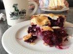
The Moose is Loose…
The Moose is Loose…..The best bakery of the trip !!!!


Expresso at 4 am


Sue: We have been facinated by the number and variety of drive-up coffee and expresso mini-houses. Most open for service around 5 or 6 am but saw one that opened at 4 am probably for the early bird fishermen who abound all over Alaska. We have gone out of our way to take pictures of the most interesting and finally decided that we had to try some. We spoke with the friendly girl and told her we really had never purchased a coffee or espresso or latte. She told us her favorite drink was the Weddingcake latte which had carmel and cocont flavoring so we ordered a 16 oz. to share. It was $3.00 which we thought was inexpensive. It was so delicious we’ve decided we want to try another stand soon.
Flowers


Sue: Since we have been in Canada and Alaska we have been awed by the beauty of the flowers here both wild and cultivated. The fireweed has been in bloom all along as the summer has progressed. You may not know that fireweed is the first flower to return after a devastating forest fire. It seems that the colors of the flowers are so brilliant because of the long hours of daylight they receive. When we were by Denali the sun came up at four and didn’t go down until twelve. It seems every home has a flower garden or a least multiple hanging baskets. The many varieties of cultivated species was wonderful to see. I don’t know how many pictures we took of wild flowers other than fireweed. There were flowers even at high altitudes that survive the harsh atmosphere and the cold of Alaskan winters.
Homer Alaska
-
-

Danny J ....Ladies boat to Halibut Cove 
- Sue’s lunch at Halibut Cove

Homer Halibut fishing.... 
Mt Iliamna across Cook Inlet from Homer....Volcanic - S

Mt. Augustine guards the Homer harbor 70 miles out.... .

-
- Coming into Homer in the rain…


On the 16th the gypsy caravan headed for Homer, Alaska. There was intermittent rain all the way, also no flats and a good breakfast stop at Gwins Roadhouse. As we approached Homer the rain cleared, somewhat, and we got a glimpse of Homer, the mountains, snow and the Spit. Geography…. spits are long narrow pieces of land that extend into bays. Homer Spit extends about 4 or 5 miles into Kachemak Bay. Homer is small about 5000 people in winter, but the surroundings are impressive. Massive mountains, glaciers, ice fields, the bay and just 40 miles up the road (across Cook Inlet) smoking volcanoes. Tuesday, 16 of the caravan guys and 3 ladies chartered a boat to go halibut fishing. We met the captain at 6:15, boarded the boat for an hour’s ride to a fishing spot. The ride out was rough, about 4 foot seas, but once we arrived and anchored it wasn’t so bad. Not more than two minutes after the first hook went down, 200 feet of water (line) Sandy had the first catch. After about 90 minutes everyone on the boat had their limit. Halibut can reach a weight of 400 pounds most of ours were between 12 and 20. These small ones are called “chicken halibut” and are supposed to be better eating. Sue: While the men were out fishing in the big boat the women had a “Girls Day Out”, We were expecting the same size boat but found the Danny J to be a small fishing boat that had no covering and we sat on benches with yellow ponchos to keep us somewhat dry. The day was rainy and the wind was blowing and the waves were fighting the boat most of the way. This sounds awful and it was but we all kept saying it was an adventure to remember. There were 19 brave souls aboard and none of us got seasick just a little damp. We arrived at Halibut Cove where there are no roads and the few dozen residents are fishermen and artists. They get around on 12 blocks of boardwalk which are reached by long gangplanks from the ship, difficult because of the wetness. We ate lunch at the only restaurant called The Saltry which was very cozy and the food was excellent and beautifully displayed. I had a half of a delicious salmon salad sandwich, a bowl of seafood chowder and a small salad with nasturtiums, which we all ate. Afterwards we walked along the boardwalk to another dock as they had ordered a bigger boat to take us back. The ride back was again on the outside with no cover. It moved over the waves and went down into troughs and then back up! Someone estimated that the waves were about 7 feet. Some women got a shower but again no one was seasick. It was truly an adventure and I will remember it with fond memories.
Seward, Alaska

On Friday August 13th we moved to Seward, a small fishing village, the Southern end of the Alaskan railroad. We had a flat tire on the way down, ran on it a little bit before realizing it was going down and ended up buying a new tire. But on the plus side…no body or rim damage. After the flat we stopped at the Summit Lake Lodge for breakfast…very good. Rain comtiuned to follow us….we stopped at a wildlife rescue drive-thru park ….They provided a place for animals that had been injured in one way or another…some hit by cars or shot. Also in Seward, one evening, we climbed up a trail to the side of the Exit Glacier. On Sunday we went to church…they were having their 100th anniversary….1910-2010. It was a big ceramony with the Archbishop of Alaska and a free prime rib dinner after. ( We didn’t stay for the dinner). One rainy day we went to the town libary book sale and the Sealife Aquarium. The last night there we drove up to Bear Creek to watch the salmon run….bank to bank, all trying to get upstream.


The Train to the Boat to the Glaciers

Planes all around..... 
Indian ceremonial dog blanket....felt and beads, natural dyes. 
Blackstone Glacier...hear it creek and snap. 
Small icebergs near the glacier...hear them ping off the boat hull. 
Kittiwake colony near the glacier. 
What kiddiwakes look like....size of a small sea gull 
The boat to the glaciers 
Cook Inlet from the train...low tide 
Mom at the train.... 
On the train....from "between the cars platform" 
- Anchorage sign on 4th Ave by the visitor center….


Tuesday August 10th we carpooled across town to the Alaskan Railroad station. We boarded the train for a 2 hour ride to Whitter. The trip took us along the shore of Cook Inlet, Turnagain Arm and finally through a three mile tunnel to Whitter, a small town right on Blackstone Bay. The tunnel was the weird part….the only way into Whittier, by land, is the tunnel. Cars and trains use the same tunnel !! of course trains have the right of way. In Whittier we got on a boat which took us around the bay, stopping in several points to view glaciers. The day was rainy so we only got to see the ends, called toes, of the glaciers….but it was still great. In Anchorage we also went to Earthquake Park, visited a museum, ate at the Snow City Dinner, did laundry and observed a constant amount of planes flying at all times. Near Anchorage is the world’s largest float plane base (lake). When we were on the train we passed a housing development, all the houses were connected, in the back yards, by a grass landing strip. In every backyard was a plane.
